Next: Where are we at Up: Creation of an Artificial Previous: Introduction
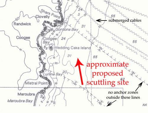
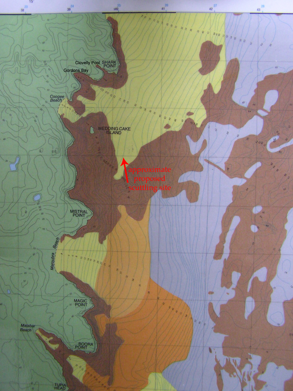
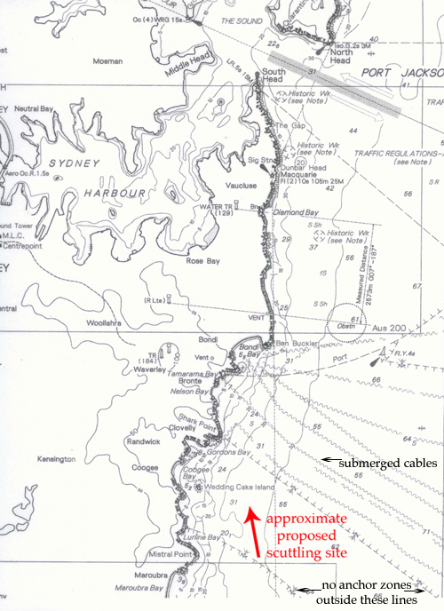
GBSDC preferred site: The GPS coordinates of the proposed site are approximately S 33d 56' 908' and E 151d 16' 755", depth 32.6meters.
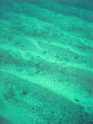
A proposed site for the ship scuttling and artifical reef creation has been chosen on the basis of the a number of criteria, provided by the Qld EPA. The site is in approximately 32m of water, has a sandy bottom and is clear of rocky reefs.
The site is acceptable to Reach: Submarine Cable Protection, and is clear of shipping lanes. Its suitability with respect to trawling still needs to be confirmed. If there are other considerations that YOU can think of that we haven't, please contact us!
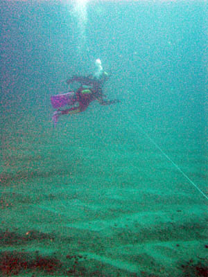
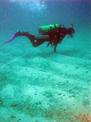
Commercial dive operator Yves Moulard (Scubaroo) took Peter Howard and George Evatt to the site from the Rose Bay wharf on Aug. 21 '06. They employed a 20m rope, which they attached to the anchor line to swim in a circle of diameter 40m around the site. Their observations and the following photographs, taken on their dive, confirm the suitability of the site.
Other maps...
The site is suitable because it:
GBSDC Thu 25 May 2023 04:07:35 PM AEST